
All Web Tools
National Climate Change Viewer
Historical (1950-2005) and future (2006-2099) climate and water balance projections
Historical (1950-2005) and future (2006-2099) climate and water balance projections
LandsatLook
Rapid online viewing and create dynamic custom mosaics from scenes within the Landsat archive for an area of interest.
Rapid online viewing and create dynamic custom mosaics from scenes within the Landsat archive for an area of interest.
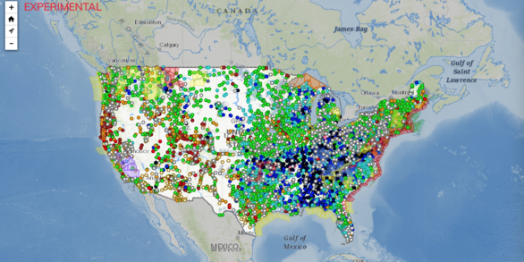
National Water Dashboard (NWD)
Mobile, interactive tool that provides real-time information on water levels, weather, and flood forecasts
Mobile, interactive tool that provides real-time information on water levels, weather, and flood forecasts
Explore and refine search with advanced filtering for all web tools including apis, data access and data analysis tools, data visualizations, digital repositories, and interactive maps.
Fundamental Science Practices
Fundamental Science Practices
The USGS provides unbiased, objective, and impartial scientific information upon which our audiences, including resource managers, planners, and other entities, rely.
Ecosystems Web Tools
Ecosystems Web Tools

Learn more about biology and ecosystems science through interactive web tools.
Water Resources Web Tools
Water Resources Web Tools
Find data and tools relevant to streamflow, groundwater, water quality, and water use and availability.