The Story of the USGS Headquarters Building
The U.S. Geological Survey was established by Congress in 1879
Sea Otter Population Change in Southeast Alaska
Continue to recover and re-occupy historical habitat
North Pacific Pelagic Seabird Database Visualization Tool
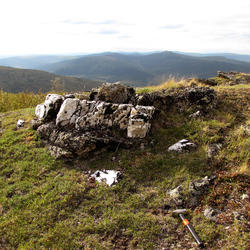
Transboundary Watersheds Geonarrative
Alaska Science Center
The mission of the Alaska Science Center is to provide objective and timely data, information, and research findings about the earth and its flora and fauna to Federal, State, and local resource managers and the public to support sound decisions regarding natural resources, natural hazards, and ecosystems in Alaska and circumpolar regions. We have offices in Anchorage, Juneau, and Fairbanks.
In the Spotlight
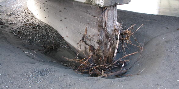
Streambed scour is the leading cause of bridge failure in the United States resulting in over 60 percent of all failures. Since 1993 the U.S. Geological Survey (USGS) has worked with the Alaska Department of Transportation and Public Facilities to provide hydraulic assessments of scour for bridges throughout Alaska.
Current Water Conditions

Explore real-time Alaska streamflow, groundwater, and water-quality conditions and access data with our new interactive map application.