From barrier islands and endemic critters...
...to water and hazards science.
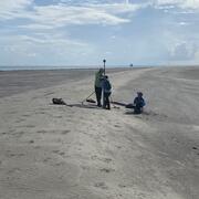
Connect with scientists behind the research.
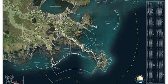
Gulf of Mexico
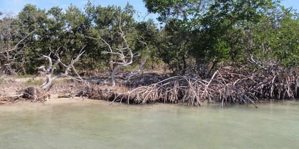
USGS provides science about ecosystems, natural hazards, water resources, energy, and minerals. Our scientists are conducting research in the Gulf of Mexico that investigates the past, present and future trajectories of coastal ecosystems, the stressors that impact those ecosystems, and restoration and management alternatives that aim to recover and sustain ecosystem functions and services.

Publications
Realizing the potential of eDNA biodiversity monitoring tools in the marine environment with application to offshore renewable energy
The U.S. Geological Survey (USGS) researches the biological diversity and distribution of species to support management, conservation, and resource use decisions. USGS scientists advance detection and monitoring technologies to assess changes in fish and wildlife populations, biodiversity, and the health of ecosystems. The United States is planning to install 30 gigawatts of offshore marine and wi