
USGS scientists find new relationships between elevation change and wetland loss in Mississippi River Delta
Study shows elevation gain can be a sign of wetland loss
Study shows elevation gain can be a sign of wetland loss
Citizen Scientist Helps USGS Confirm Unique Population of Threatened Turtle
USGS WARC scientists coordinate rescue of cold-stunned sea turtles
Amphibians have one more thing to worry about - mercury - large USGS study shows
WARC scientists co-author recent publication assessing the presence of methylmercury in adult amphibians in the U.S.
WARC scientists co-author recent publication assessing the presence of methylmercury in adult amphibians in the U.S.
USGS Scientists Explore Mesophotic and Deep Benthic Communities in the Gulf of Mexico
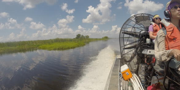
Wetland and Aquatic Research Center
WARC conducts relevant and objective research, develops new approaches and technologies, and disseminates scientific information needed to understand, manage, conserve, and restore wetlands and other aquatic and coastal ecosystems and their associated plant and animal communities throughout the nation and the world.
Science for Detection, Containment, and Control of Invasive Species
Science for Detection, Containment, and Control of Invasive Species

USGS scientists focus on the development of innovative prevention, prediction, early detection, containment, and control tools.
WARC Quick Links
WARC Quick Links
Looking for something? Let us help.
News
Event: Explore USGS Careers in the Southeast 2024
Event: Explore USGS Careers in the Southeast 2024
USGS scientists find new relationship between elevation change and wetland loss in Mississippi River Delta
USGS scientists find new relationship between elevation change and wetland loss in Mississippi River Delta
Traversing the Sea for Science: How USGS Uses the Federal Fleet to Study Natural Hazards, Resources, and More
Traversing the Sea for Science: How USGS Uses the Federal Fleet to Study Natural Hazards, Resources, and More
Publications
Projected sea-level rise and high tide flooding at Big Cypress National Preserve, Florida
IntroductionNational parks and preserves in the South Atlantic-Gulf Region contain valuable coastal habitats such as tidal wetlands and mangrove forests, as well as irreplaceable historic buildings and archeological sites located in low-lying areas. These natural and cultural resources are vulnerable to accelerated sea-level rise and escalating high tide flooding events. Through a Natural Resource
Asynchronous movement patterns between breeding and stopover locations in a long-distance migratory songbird
The species-specific migratory patterns and strategies of many songbirds remain unknown or understudied, as research in animal ecology is biased toward the breeding period, with the fewest studies on the migratory period across taxa. Identifying large-scale spatiotemporal migratory patterns is challenging, as individuals within a species may vary in their migratory behavior and strategies. The Yel
Interactive effects of salinity and hydrology on radial growth of bald cypress (Taxodium distichum (L.) Rich.) in coastal Louisiana, USA
Tidal freshwater forests are usually located at or above the level of mean high water. Some Louisiana coastal forests are below mean high water, especially bald cypress (Taxodium distichum (L.) Rich.) forests because flooding has increased due to the combined effects of global sea level rise and local subsidence. In addition, constructed channels from the coast inland act as conduits for saltwater
Science

Understanding Ecosystem Response and Infrastructure Vulnerability to Sea-Level Rise for Gulf Islands National Seashore
USGS researchers will will survey elevation and vegetation in wetlands and vegetated dunes on Horn, Petite Bois, and Ship Islands; Correct the best available lidar-based digital elevation model; estimate inundation for the Gulf Islands National Seashore under various water levels and relative sea-level rise scenarios; and quantify and predict potential marsh migration for the Gulf Islands National...

Laboratory Investigations with Fish Species to Assist with Implementing Barataria-Terrebonne National Estuary Program’s Ecological Management Action Plans
WARC scientists will obtain live fish specimens from the field to conduct and enhance on-going laboratory research on harmful algal blooms and the use of piscicides to control invasive fish.

Avifauna Surveys of the Northern Main Chandeleur Islands
USGS WARC ecologists are assisting partners in conducting avian surveys on Chandeleur Islands during the pre-restoration monitoring phase to document threatened and endangered species, species richness and diversity, species abundance, and habitat use.