Science Programs and Partnerships
Supplying necessary scientific information to local, state, and federal agencies, and non-governmental organizations
Aquatic Ecology
Gaining better understanding of the effects that human activity, hydrologic extremes, and climate change have on aquatic ecosystems
Groundwater
Using science to assess and quantify the availability and quality of California's groundwater resources
Water Quality
Providing foundational data and scientific analysis to address water quality issues facing California
Surface Water
Understanding the science about California surface-water use for irrigation, public consumption, and ecosystems
California Flood Science
Helping emergency managers and others protect life and property from floods and other water-related hazards
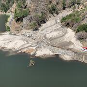
California Drought
Monitoring the effects of drought in California through data collection and research
California Water Science Center
The U.S. Geological Survey, California Water Science Center provides reliable, impartial, foundational data and scientific analysis to address water issues facing California today. We conduct hydrologic monitoring and investigative studies in partnership with tribal, federal, state, and local agencies to assist them in managing California's water resources.
Large Storms & Floods in California History
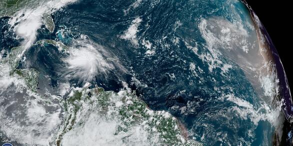
Storms unleash torrential rain and intense winds, posing significant challenges to infrastructure and triggering widespread flooding. Since it became a state in 1850, California has experienced numerous large storms and floods.
Join the USGS Team
Explore careers at the USGS, experience a day in the life of employees, navigate USAJobs, and see frequent questions on Federal hiring.
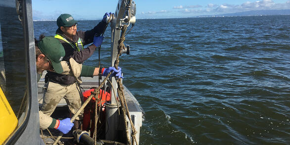
California Water & Drought Data
Basic hydrologic data collection, processing, analysis, dissemination, and archiving are major parts of the California Water Science Center program.