
Landsat 9 Image of Phoenix Metropolitan Area
Detailed Description
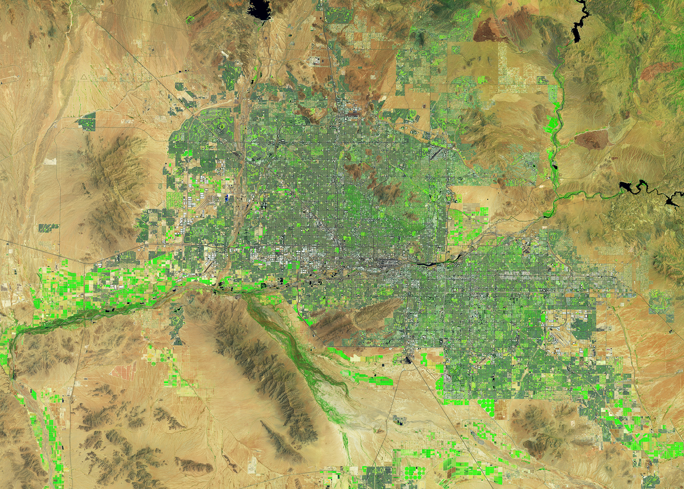
The Phoenix, Arizona metropolitan area, also known as the Valley of the Sun, is comprised of more than 14,600 square miles and is considered the largest metropolitan area in the southwestern United States. The desert climate and abundant sunshine of the area are main factors in population growth and urban sprawl.
This image displaying the Valley of the Sun was created from two Landsat 9 scenes acquired in early July 2024. Golf courses, crop irrigation circles and various vegetation can easily be seen in shades of green within the desert landscape.
Landsat 9 Operational Land Imager (OLI)
Path 36 Row 37, acquired July 3, 2024
Path 37 Row 37, acquired July 10, 2024
Bands 6,5,4 (Shortwave Infrared, Near Infrared, Red)
Visit the Landsat Missions Web Site to learn more about Landsat satellites, the sensors they carry, and the data that is used to create imagery like this.
Sources/Usage
Public Domain.