

Robins AFB
Warner Robins, GA
32°38'N 83°36'W
Robins AFB, GA
Following the Air Force Announcement of June 30, 1995 of a realignment in force structure, Robins AFB, GA, Air Force placed the Perimeter Acquisition Vehicle Entry Phased Array Warning System in caretaker status and inactivated the 9th Space Warning Squadron in late 1995. The action resulted in a decrease of 107 full-time military and five civilian manpower authorizations.
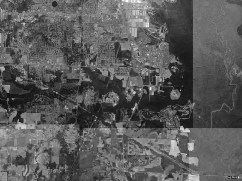
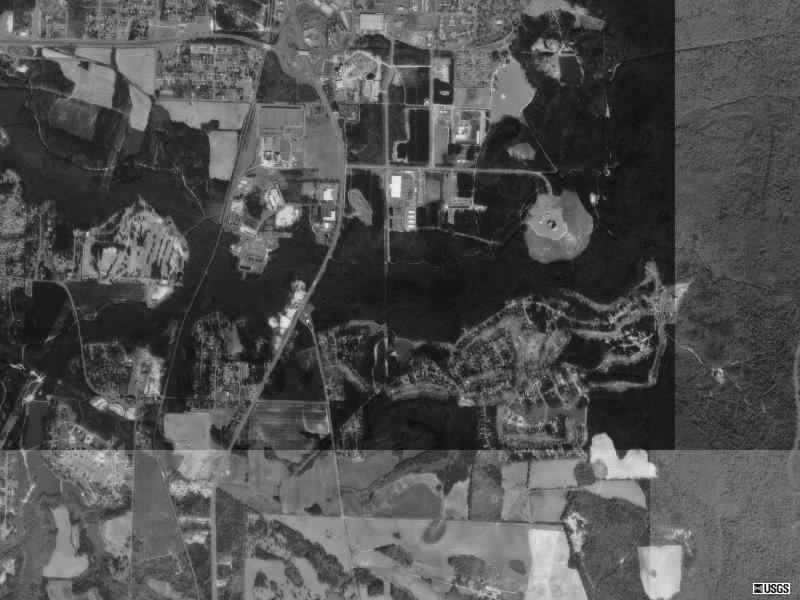
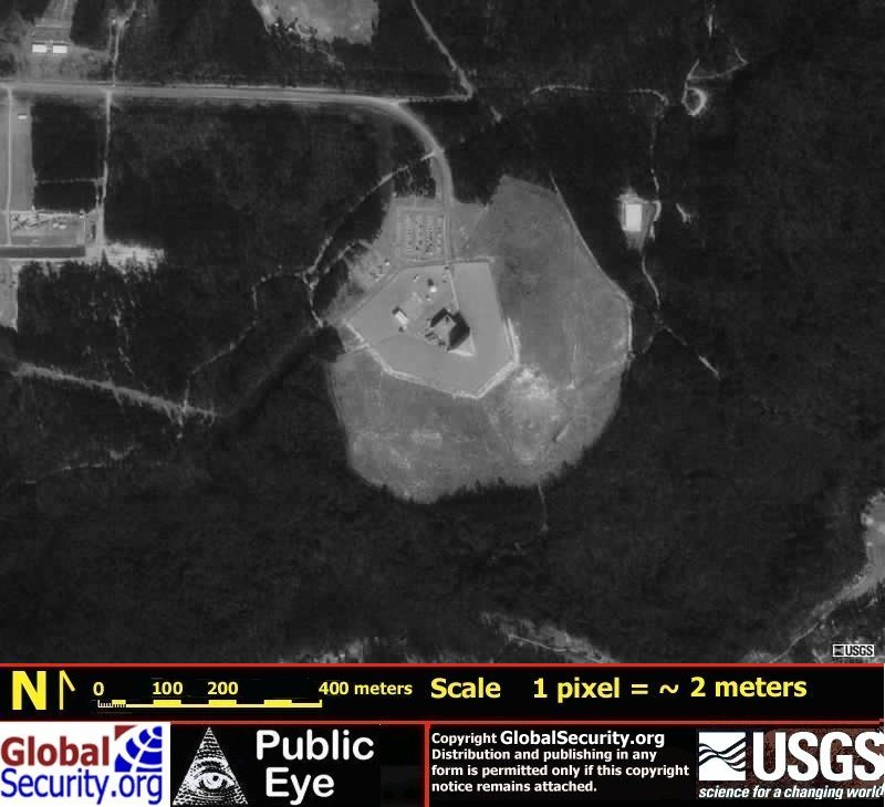
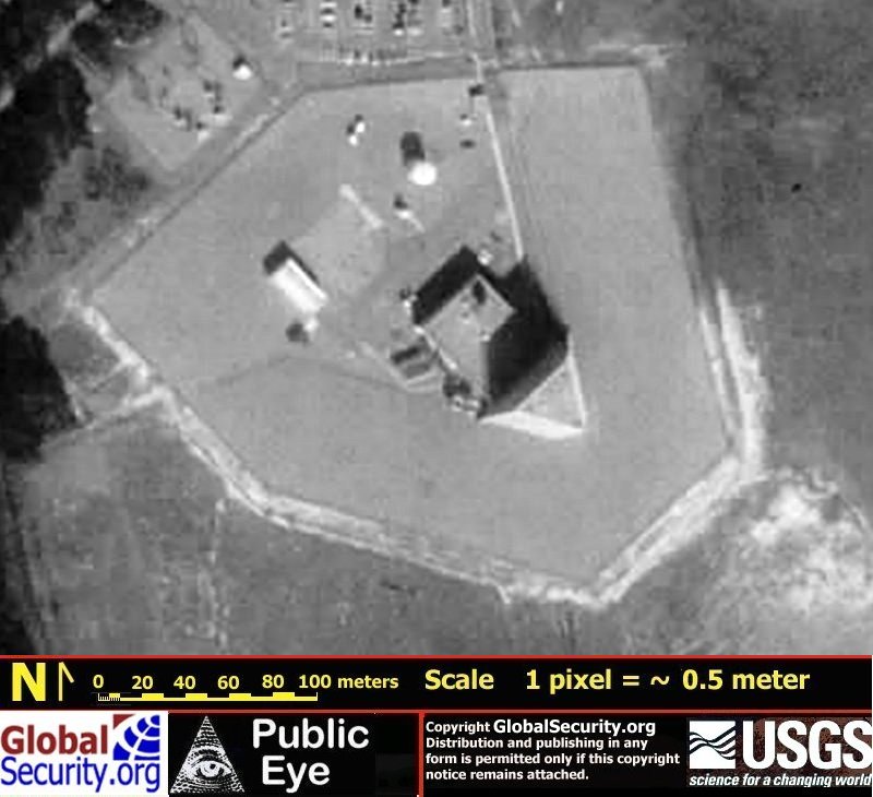
The 9th Space Warning Squadron, a 21st Space Wing unit, operated one of four AFSPACECOM PAVE PAWS sensors located at Robins AFB, GA, 24 kilometers south of Macon, near the city of Warner Robins. Members of the 9th SWS had been a part of the city since November 1986, when the unit's radar became operational. Working at the site are US and Canadian military members, civil servants and Raytheon contractor personnel who maintain the radar and computer equipment.
In October 1990, Air Force awarded an $8.6 million contract to Raytheon Company for an automatic face-blanking modification to the PAVE PAWS radar facility at Robins AFB, GA. The modification is designed to protect aircraft equipped with electro-explosive devices (EED) from possible effects from the radar's energy. EEDs are small explosive devices used on some aircraft to jettison components such as external fuel tanks, flares and armament. The devises are operated electrically, making them vulnerable to accidental ignition by exposure to electromagnetic fields. Exposure to the power density levels emitted by PAVE PAWS should be considered a safety hazard, according to a government study, to EEDs-equipped aircraft operating within 6,000 feet of the radar antenna. The modification consists of an auxiliary tracker that automatically controls the radar to avoid emitting high-density radar energy when aircraft are in the possible danger zone.
The primary mission of the 9th SWS was to provide early warning on all submarine launched and intercontinental ballistic missiles that penetrate the radar's coverage. The radar can track objects up to about 3,000 miles over the Southeast coast of the United States. All tracking data was electronically transmitted to missile warning and space surveillance centers within Cheyenne Mountain AFB, CO.
The site's secondary mission was to support US Space Command's space surveillance mission by tracking manmade objects orbiting the earth. The radar routinely tracked objects in space as small as a basketball. The biggest challenge was keeping up with all the manmade objects launched into space. After notification of a launch, the 9th SWS operations section had to make sure its prepared for the objects (launch vehicle and payload) when they enter its area of coverage. The Squadron calculated the time it should enter and then interfaced with the sites's computers to lock in on the objects. The site helped keep tabs on most US domestic launches, including the space shuttle, as well as foreign launches.


|
NEWSLETTER
|
| Join the GlobalSecurity.org mailing list |
|
|
|