A friend got sick and was unable to complete the KST this weekend, so Eric and I did a hike on the West side instead.
Thanks to Chico and Groot for dropping us off in the area that was once dominated by sugar and cattle plantations from roughly 1906-1946.
We passed some hunters who when they learned of our destination, suggested we take the road instead. No thanks, we’ll stick to the higher ground. There was enough pavement on this road leading up to the trail that was enough for me.
Old and new. Trail markers that is. The purple bottle caps was set by Waianae Steve many years ago and the pink ribbons by hikers many months ago?
Climbing out of the valley was a good stiff cardio exercise as we reached the top where we saw the prominent Bolo Head ridge next to us.
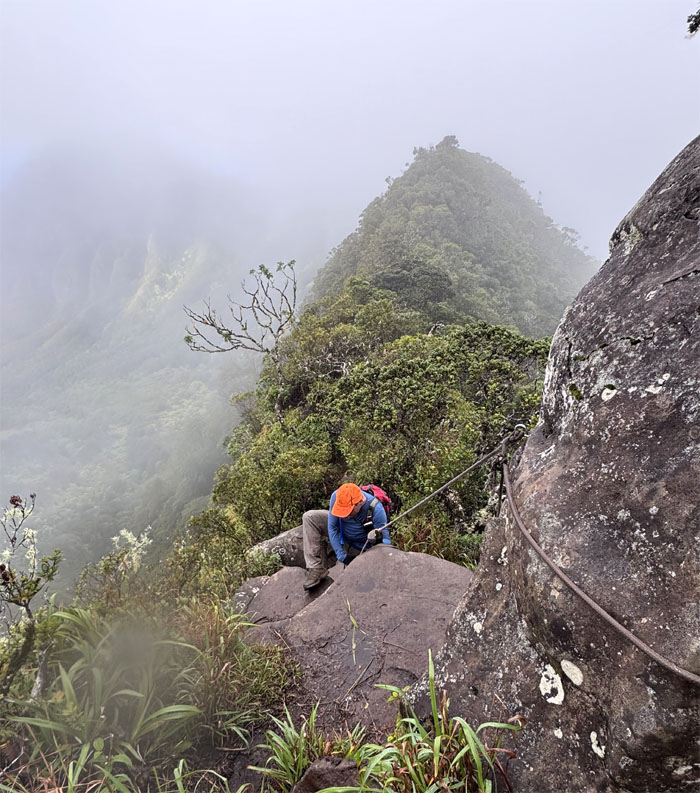
Eric climbing over the first boulder section.
Can you take my photo of me going up the ladder section? My phone is locked out.
Reaching the top of the highest mountain on the island, while the true summit was a short walk away, this was good enough for today. We also ran into two brothers from Texas who was unprepared for the inclement weather, as it’s always sunny in Hawaii right?
One of eight species of koli’i taken by the botanist on the hike, this particular one takes about five years to grow and then blooms its pink flowers and dies off.
Eric entering the 1,100 acre area that was once home to a fishpond and is now home to endemic plants and species.
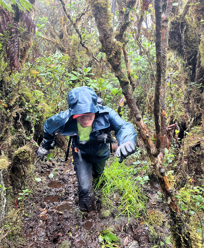
Got mud?
Mud misery loves company.
The botanist identified this as kanawao, a species of perennial flowering plant of the Hydrangeaceae family, that is only found in Hawaii.
Contact with the fence line which lead us to the …
… overgrown and cloud soaked ridge line.
Making my way down the slippery climb due to the prior rain and morning dew.
Eric going across the Leap of Faith.
When the weight on your shoulders is too much. Just let it roll down the valley.
Two native plants – Hawaiian mint that has no smell due to no predators and the uluhe ferns that are important to the native ecosystem in terms of building soil and also impede hiking traffic on many a trail.
I found the overgrowth presence on the trail was markedly less than on previous visits. No complaints here.
Following the fence line on the undulating ridge line.
The fence while a bane to some hikers and a boon to conservationists, it does help one to navigate more easily through the overgrowth, sometimes.
Watching rain showers march across Lualualei Valley. the largest coastal valley on the Leeward side of the island.
Passing by shrubs of Naupaka Kuahiwi, the mountain yin to the Naupaka Kahakai, the ocean yang. The half flowers symbolize division in Hawaiian mythology and when united, symbolize love and reunion.
Eric making his way around the “split” fenced ridge line.
Dropping down to a narrow shelf as we made our way on the trail.
Eric climbing his way up.
Contouring our way around the trail that was riddled with erosion and landslides.
Group photo on the second highest peak on the island that sits at 3,504′ elevation.
We took a short break at the summit and then pushed our way through the overgrowth.
Climbing our way through the denuded section of the trail.
My Vulcan salute was looking pretty weak. Live long and prosper.
Passing through the pine tree section.
Making my way along the eroded section of the trail.
Eric going over one of multiple fence crossings.
Looking out towards sexxxy ridge, so named due to the razor thin ridge and sheer drops on both sides.
Eric climbing down the hill towards the rock dike ahead of us.
Trailing on the narrow dike.
Leaving the fence line behind us as we descended down the trail which lead to another rock dike.
Eric climbing his way down with Ka’ilio in the background.
Making my way down the narrow dike.
Passing through the “Martian” area while stopping to check out some red lichen on the rocks.
Lucky we are illiterate. Thanks to Chico for picking us up and bringing us coke floats. Big mahalos!
Our final hike of the year covered just under seven miles through a mixture of wet and dry terrain and cloud soaked and sun kissed views. Post hike meal at Chicken in a Barrel. They didn’t have any chicken left. Really? So we split a pizza at the nearby Old Town Pizzeria. Thanks Eric for picking up the pizza. Fun hike to end 2024.
Photos taken by Eric Sadoyama and yours truly. Not necessarily in order.
Note: I have been made aware that some hikers have been using my blog as a hiking guide and getting lost on the trails. Please note that this blog was made to document the hike for the crew(s) that did it. That is why some of my comments will seem to have no relevance or meaning to anybody outside of the crew(s) that hiked that trail. My blog was never meant as a hiking guide, so please do not treat it as such. If you find inspiration and entertainment from these hikes, that is more than enough. If you plan on replicating these hikes, do so in the knowledge that you should do your own research accordingly as trail conditions, access, legalities and so forth are constantly in flux. What was current today is most likely yesterdays news. Please be prepared to accept any risks and responsibilities on your own as you should know your own limitations, experience and abilities before you even set foot on a trail, as even the “simplest” or “easiest” of trails can present potential pitfalls for even the most “experienced” hikers. One should also always let somebody know of your hiking plans in case something doesn’t go as planned, better safe than sorry.


{ 2 comments… read them below or add one }
What an awesome hike. Thanks again Kenji!
Aloha Eric,
Glad you enjoyed the time in the mountains.
Mahalo